Template:SSNavMap: Difference between revisions
Jump to navigation
Jump to search
(Got a few Locations done, I'll return later to finish this.) |
(Adding a few more in.) |
||
| Line 14: | Line 14: | ||
rect 520 33 598 80 [[Fire Sanctuary#Skyward Sword|Fire Sanctuary]] | rect 520 33 598 80 [[Fire Sanctuary#Skyward Sword|Fire Sanctuary]] | ||
rect 249 201 305 243 [[Lanayru Mining Facility]] | rect 249 201 305 243 [[Lanayru Mining Facility]] | ||
rect 60 237 124 295 [[Sand Ship]] | |||
rect 124 169 167 233 [[Temple of Time#Skyward Sword|Temple of Time]] | |||
rect 263 29 592 172 [[Eldin Volcano]] | |||
poly 465 270 591 196 645 335 548 369 [[Faron Woods#Skyward Sword|Faron woods]] | |||
circle 206 227 145 [[Lanayru Desert]] | |||
</imagemap> | </imagemap> | ||
<span style="font-size: 10pt;">''Click on a location''</span> | <span style="font-size: 10pt;">''Click on a location''</span> | ||
Revision as of 23:25, 19 November 2011
| Hyrule in The Legend of Zelda: Skyward Sword |
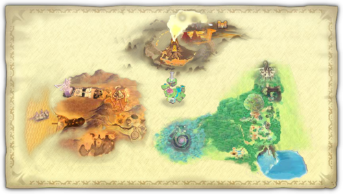 Click on a location | |
|---|---|---|
Explanation
This template provides an easy way to navigate Hyrule in Skyward Sword.
Usage
To use this template, type:
{{SSNavMap}}